Log in
All resources
Create a design
38,267 Free Images of 1893 Maps
maps made in the 17th century
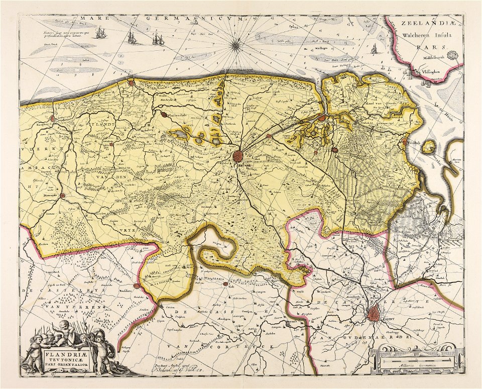
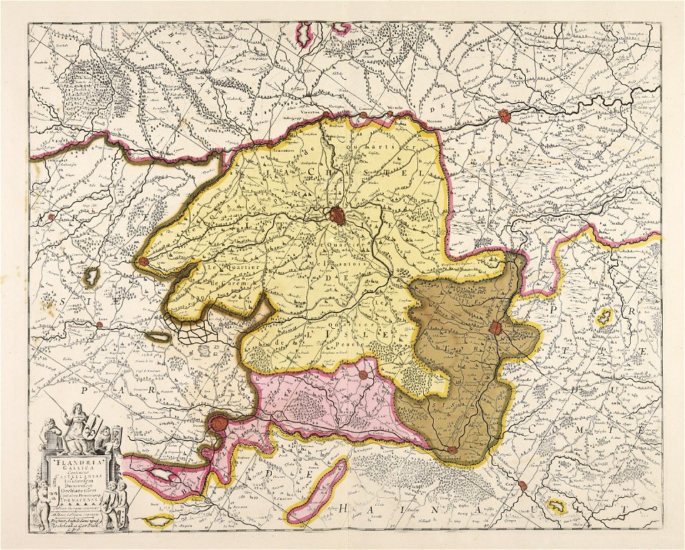
maps by pieter schenk (i)
gerard valck
atlantis magni tomus tertius (biblioteca comunale di trento)
atlantis magni tomus secundus (biblioteca comunale di trento)
fonds ancely - bibliothèque municipale de toulouse - maps
victor levasseur - maps of france
maps in the library of congress
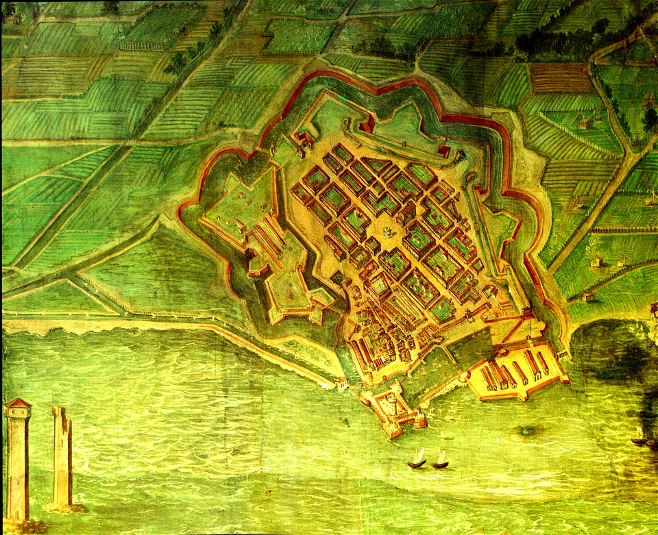
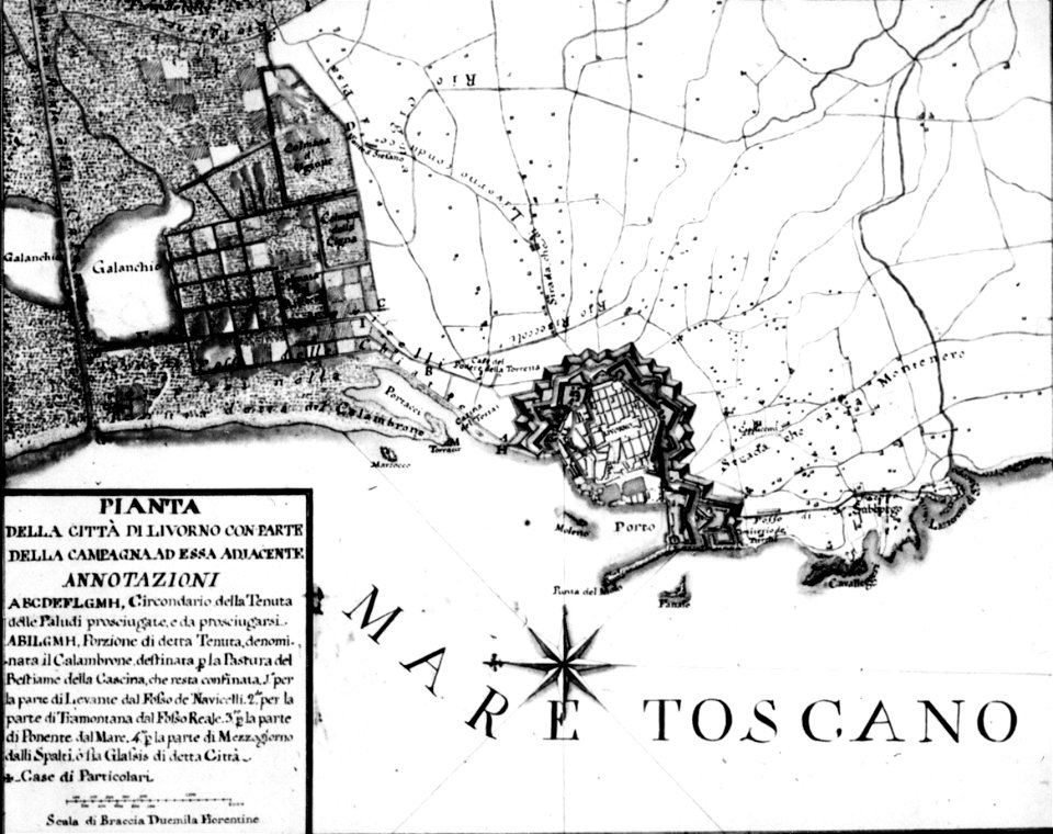
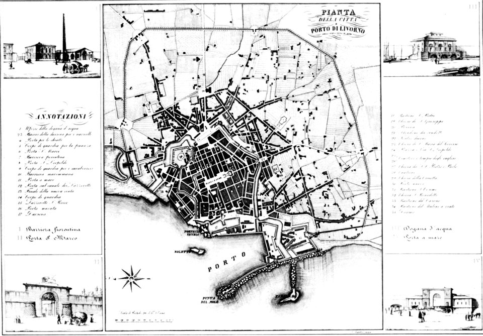
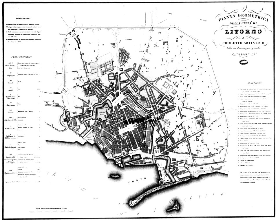
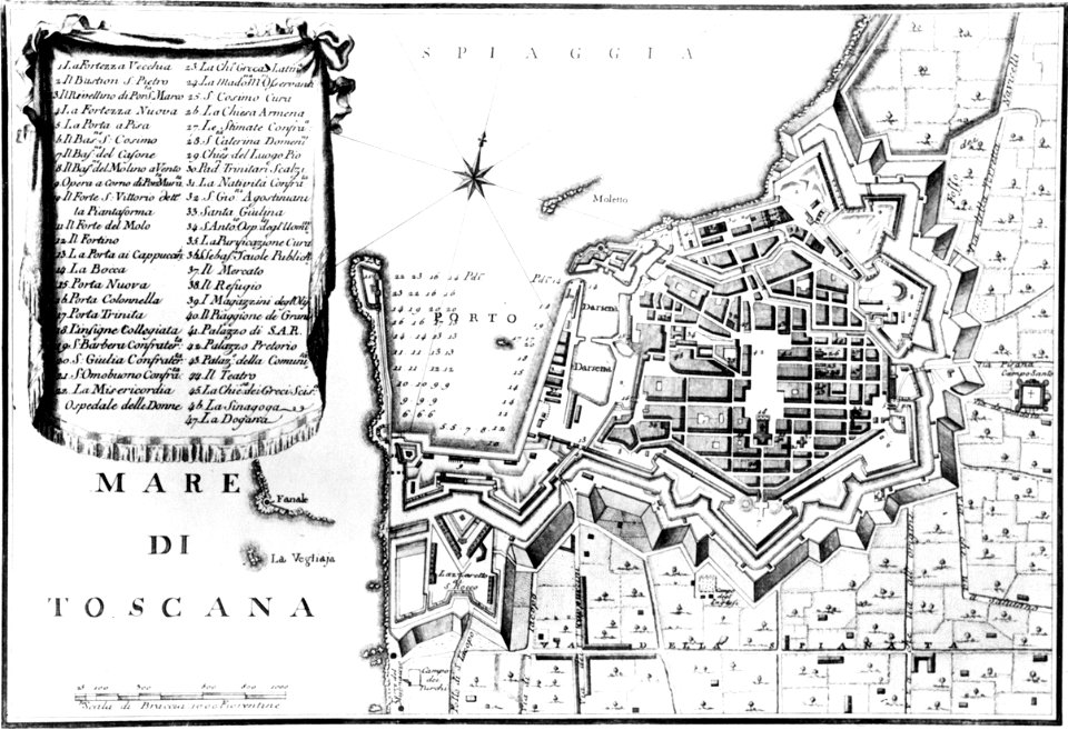
old maps of livorno
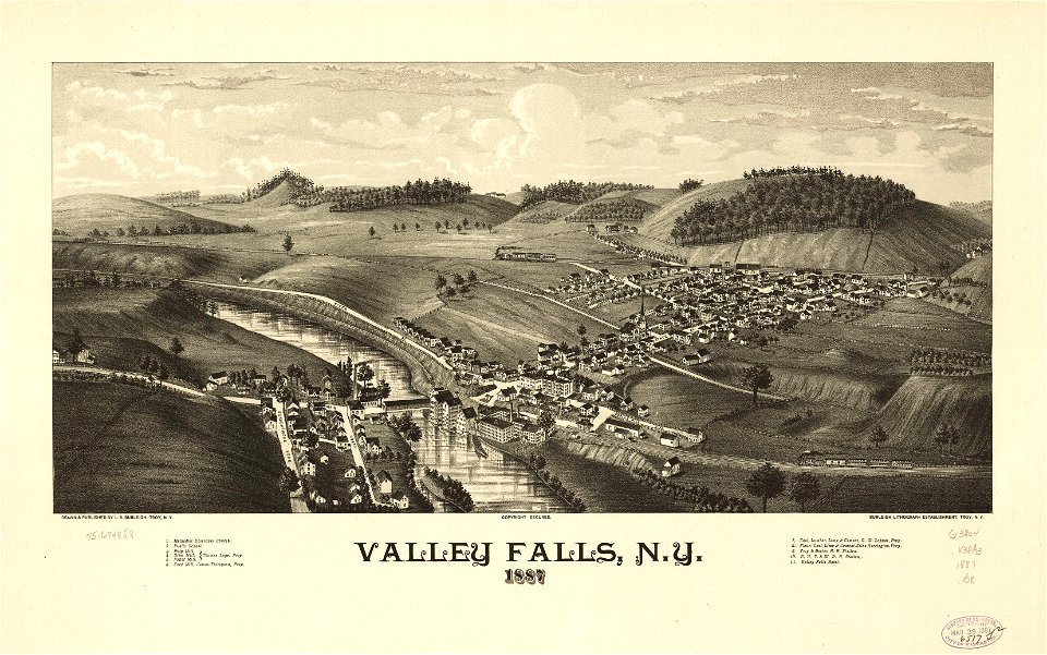
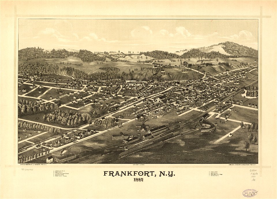
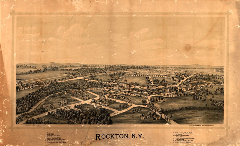
new york
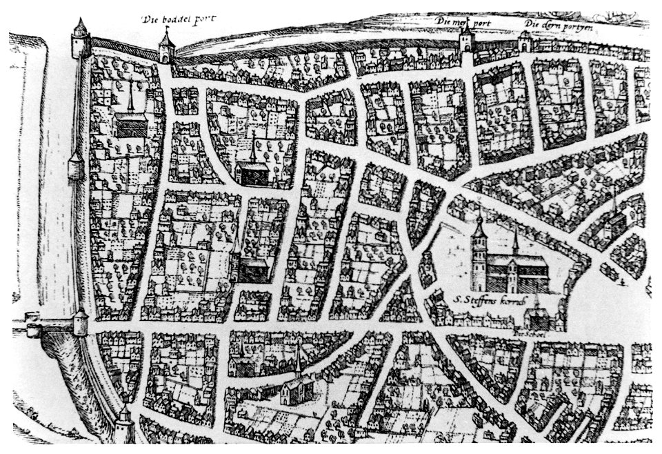
old maps of nijmegen
old maps of gdańsk
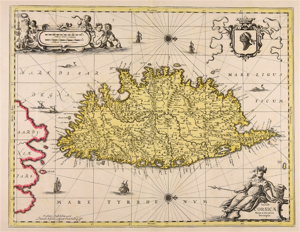
maps by antonio millo
maps by antonio millo
old maps of turin
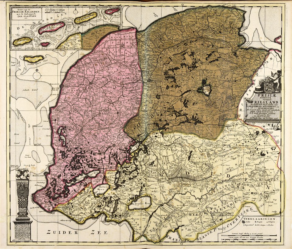
old maps of twente
old maps of livorno
old maps of livorno
old maps of livorno
old maps of livorno
old maps of livorno
old maps of livorno
maps by antonio millo
old maps of new brunswick
old maps of maine
artworks with known accession number
artworks without wikidata item
artworks without wikidata item
1893 lithographs
paintings of nude standing females in the 19th century
1897 paintings
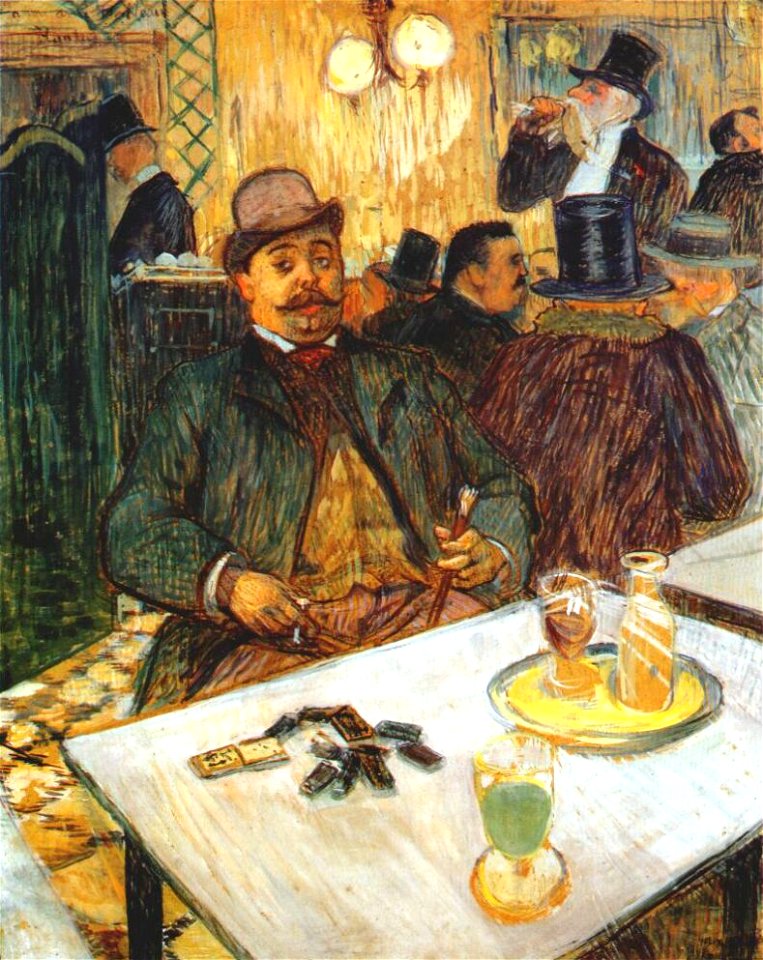
works between 1893 and 1896 by henri de toulouse-lautrec
smoking men in art
list of american painters exhibited at the 1893 world's columbian exposition
paintings of christian saints holding the martyr's palm
pages with isbn errors
000
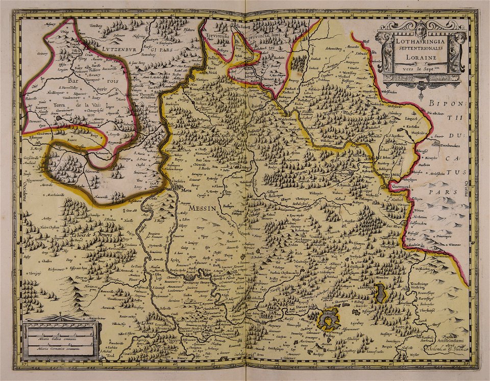
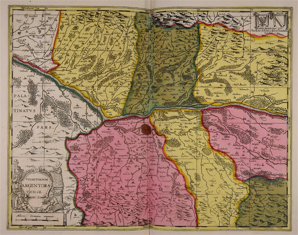
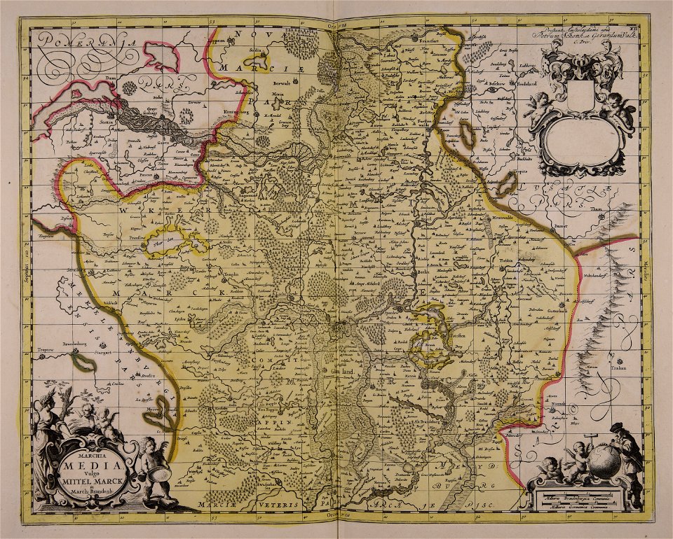
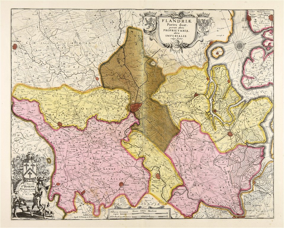
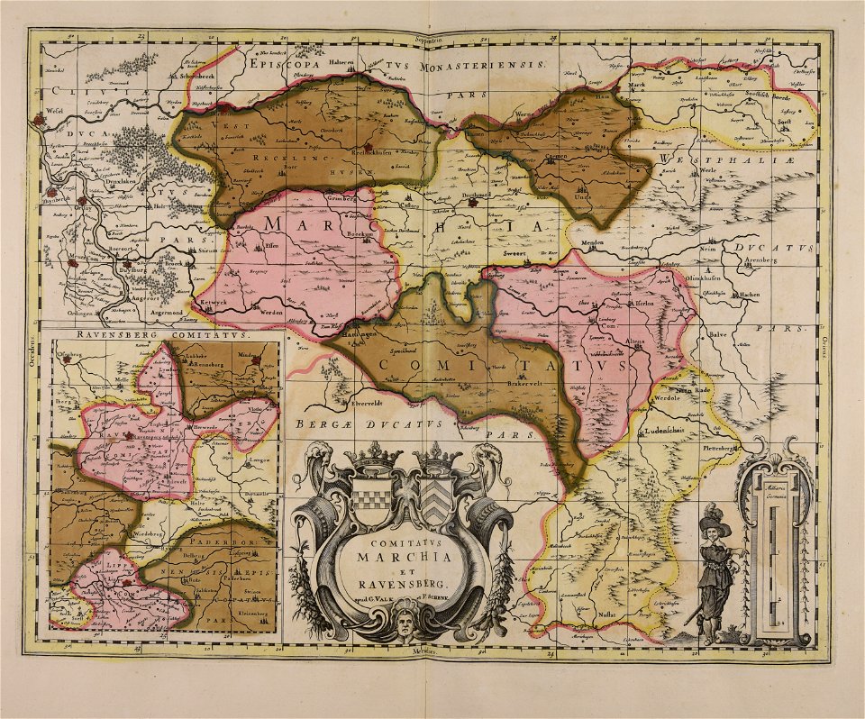
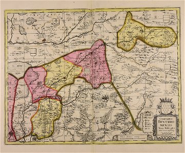
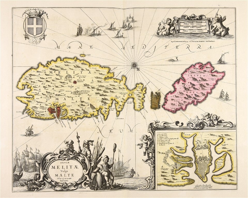
maps made in the 17th century
gerard valck
maps made in the 17th century
gerard valck
maps made in the 17th century
gerard valck
maps made in the 17th century
gerard valck
maps in the library of congress
new york
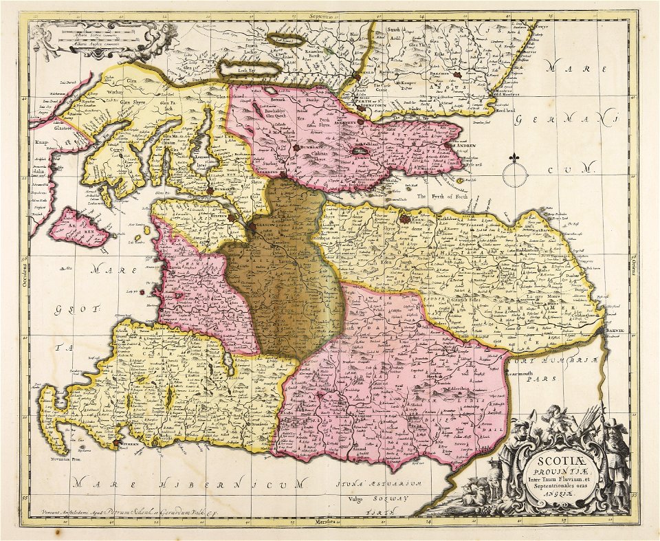
maps made in the 17th century
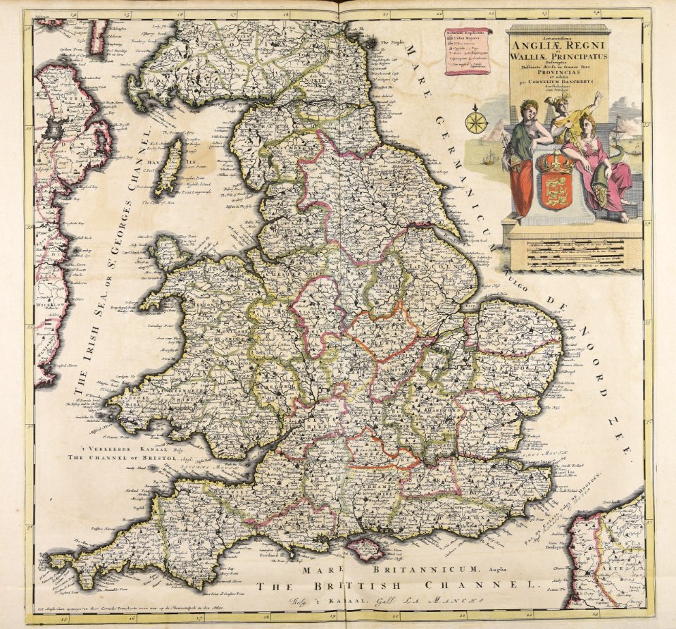
old maps of wales
maps with cartouches
atlas van der hagen
maps with cartouches
atlas van der hagen
atlas van der hagen (volume 4)
maps with cartouches
old maps of the strait of magellan
voyage au pôle sud
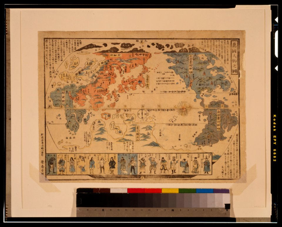
ukiyo-e by unknown artists
1800s maps of the world
maps made in the 17th century
gerard valck
ukiyo-e by unknown artists
1800s maps of the world
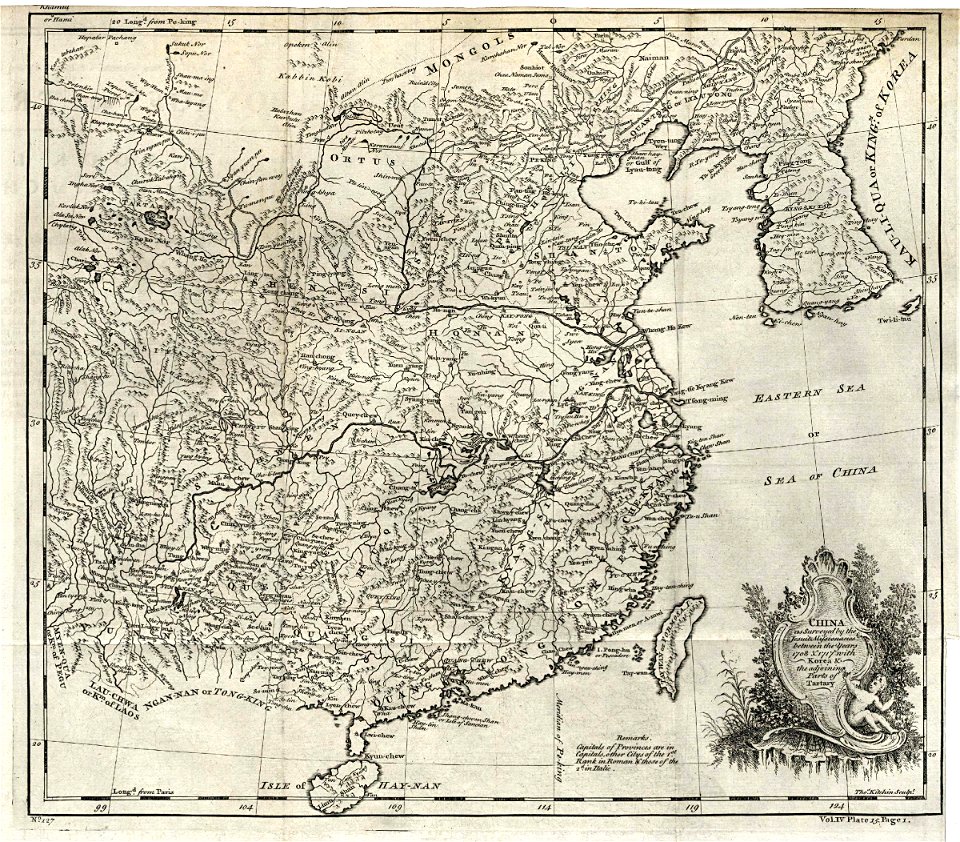
maps of the dutch east india company - korea
1745
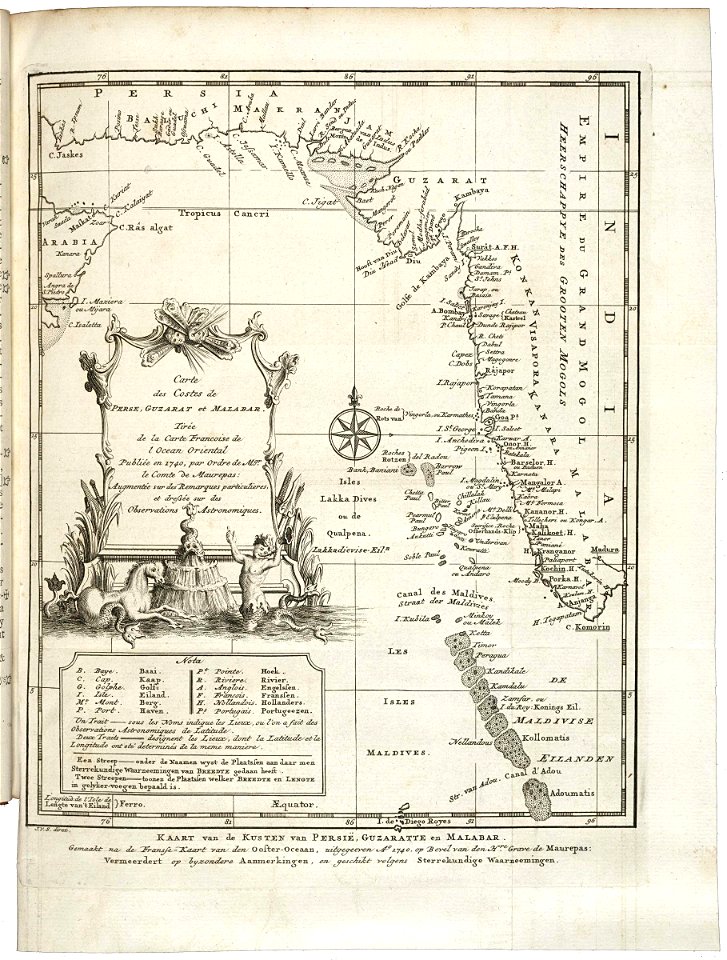
old maps of the dutch east india company
1660s
old maps of the dutch east india company
1747)
18th-century maps of indonesia
1757
maps made in the 17th century
gerard valck
maps made in the 17th century
gerard valck
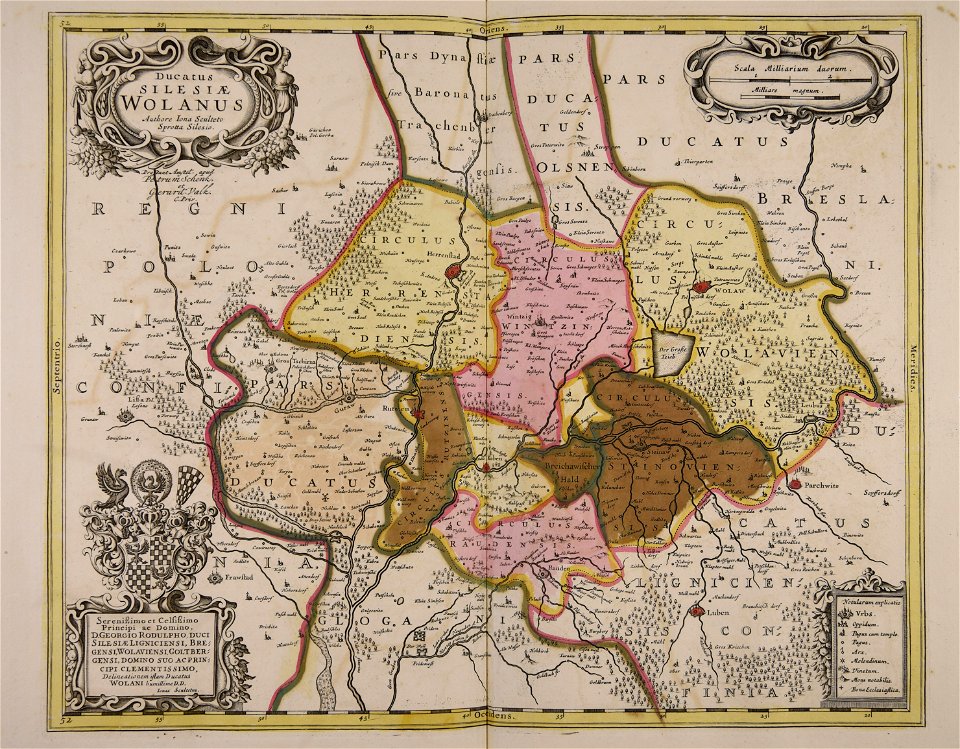
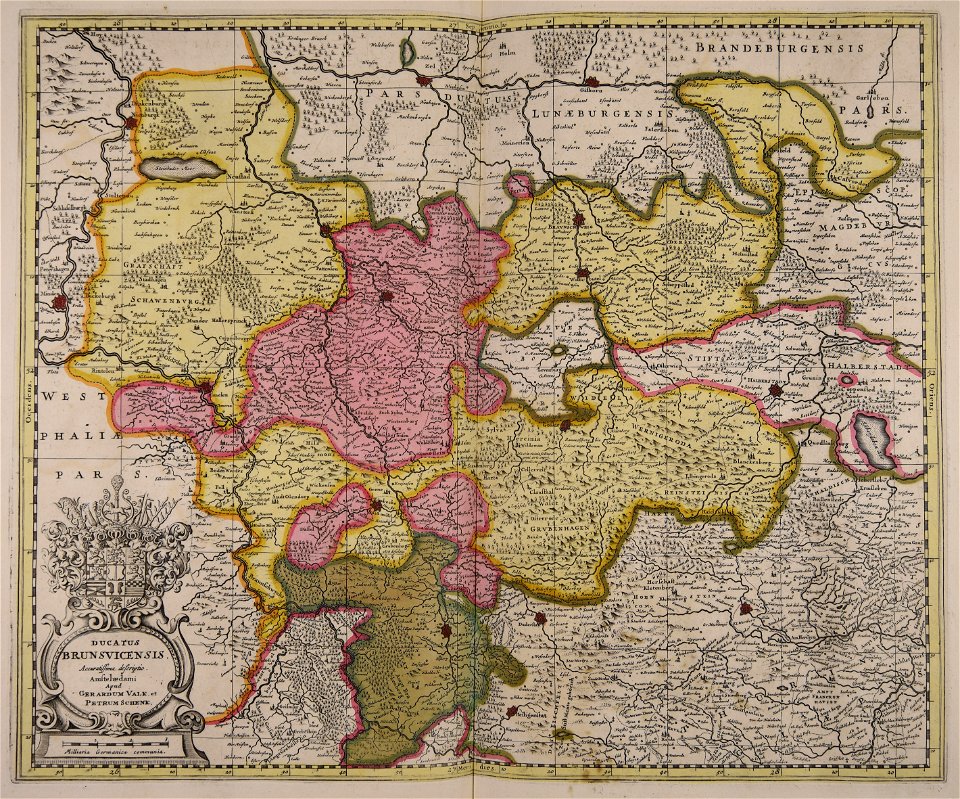
old maps of silesia
gerard valck
maps made in the 17th century
maps by nicolaes visscher i
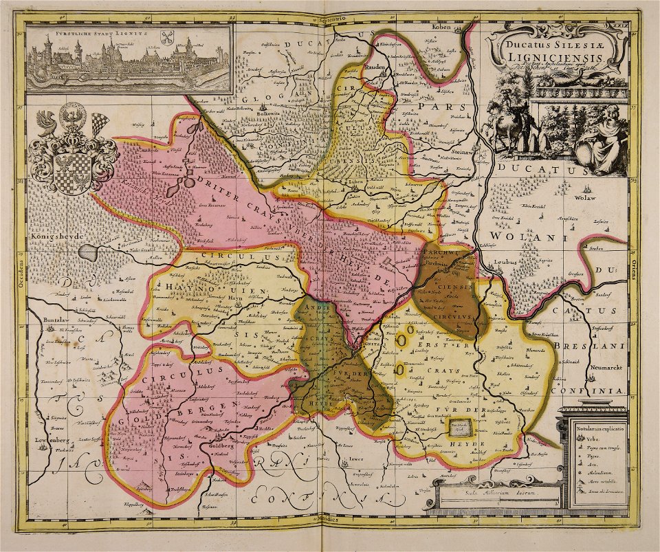
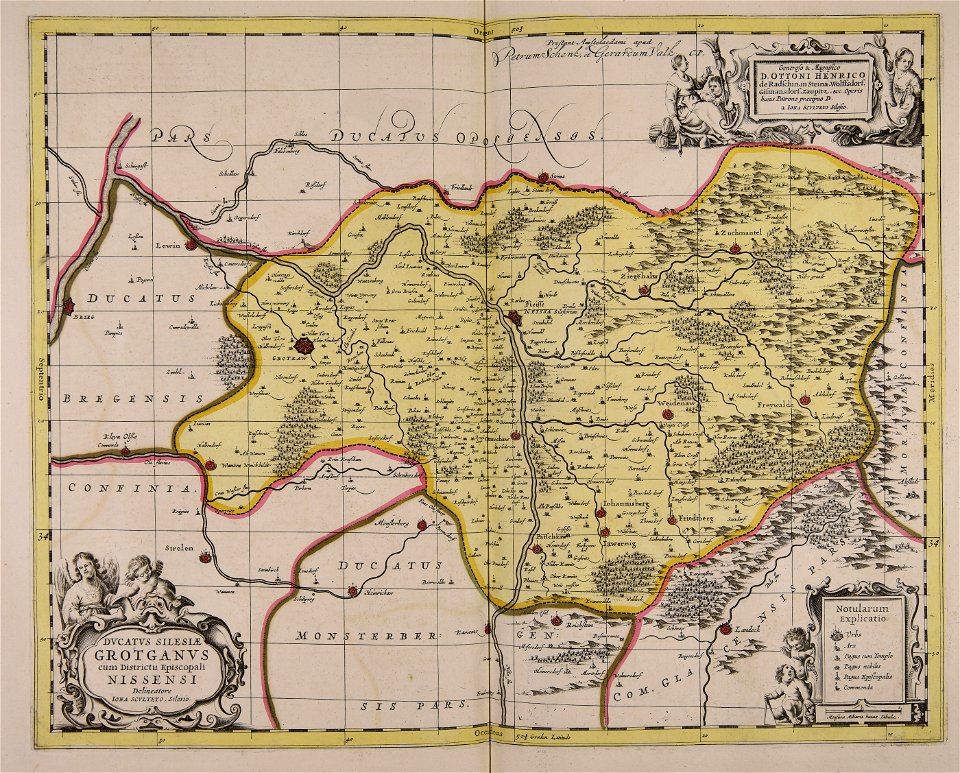
old maps of silesia
gerard valck
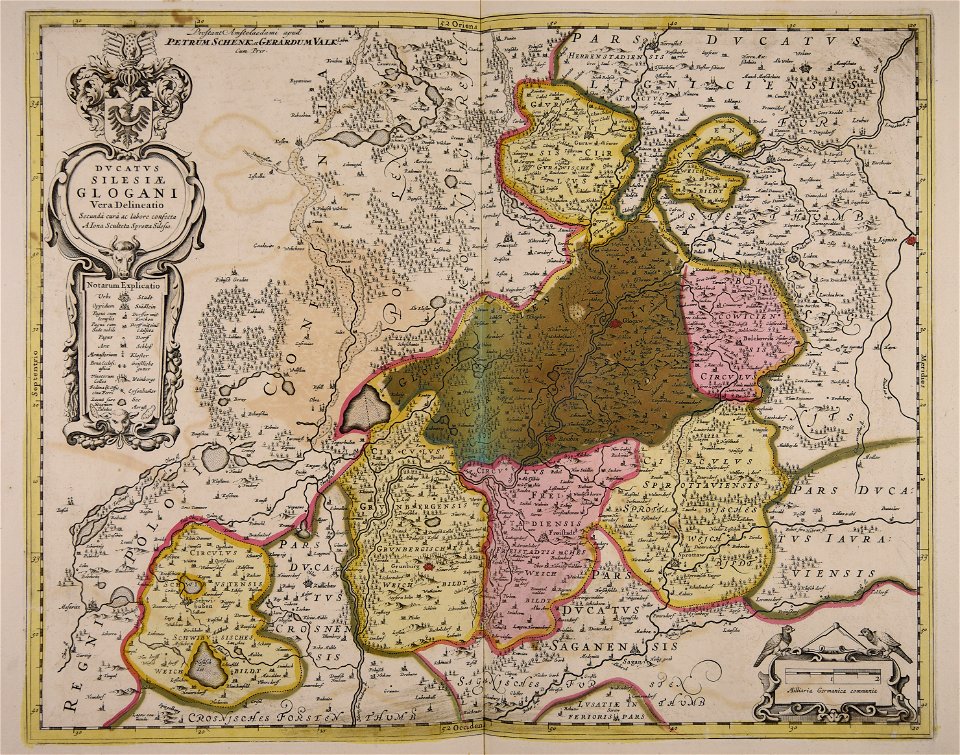
old maps of silesia
gerard valck
maps made in the 17th century
gerard valck
old maps of silesia
gerard valck
fonds ancely - bibliothèque municipale de toulouse - maps
coats of arms of cities in pyrénées-atlantiques
fonds ancely - bibliothèque municipale de toulouse - maps
joachim murat
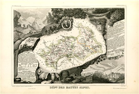
fonds ancely - bibliothèque municipale de toulouse - maps
coats of arms of cities in hautes-alpes
fonds ancely - bibliothèque municipale de toulouse - maps
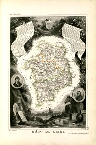
coats of arms of cities in cher
fonds ancely - bibliothèque municipale de toulouse - maps
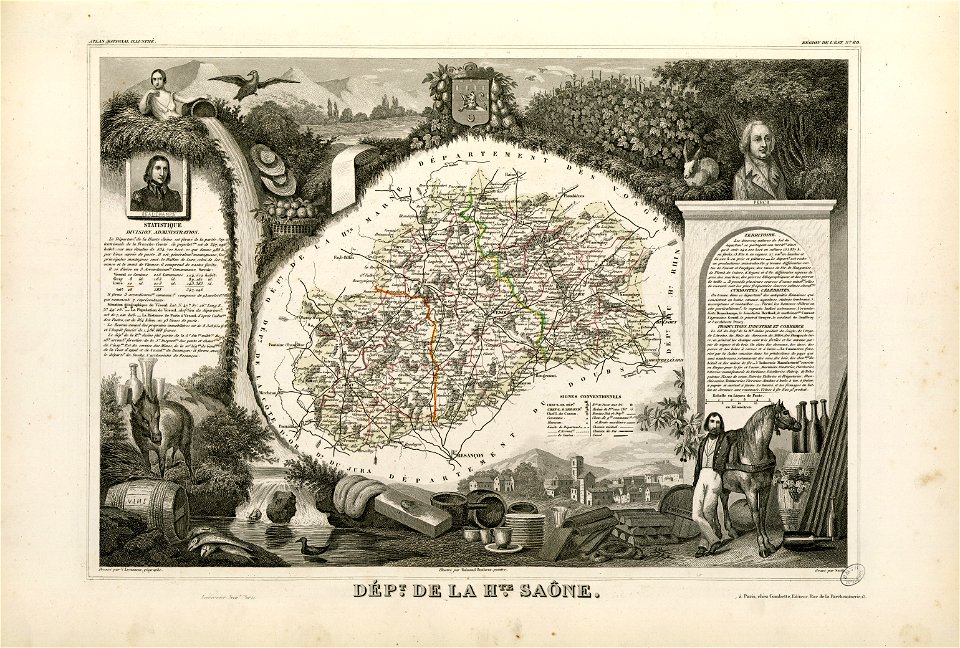
coats of arms of vesoul
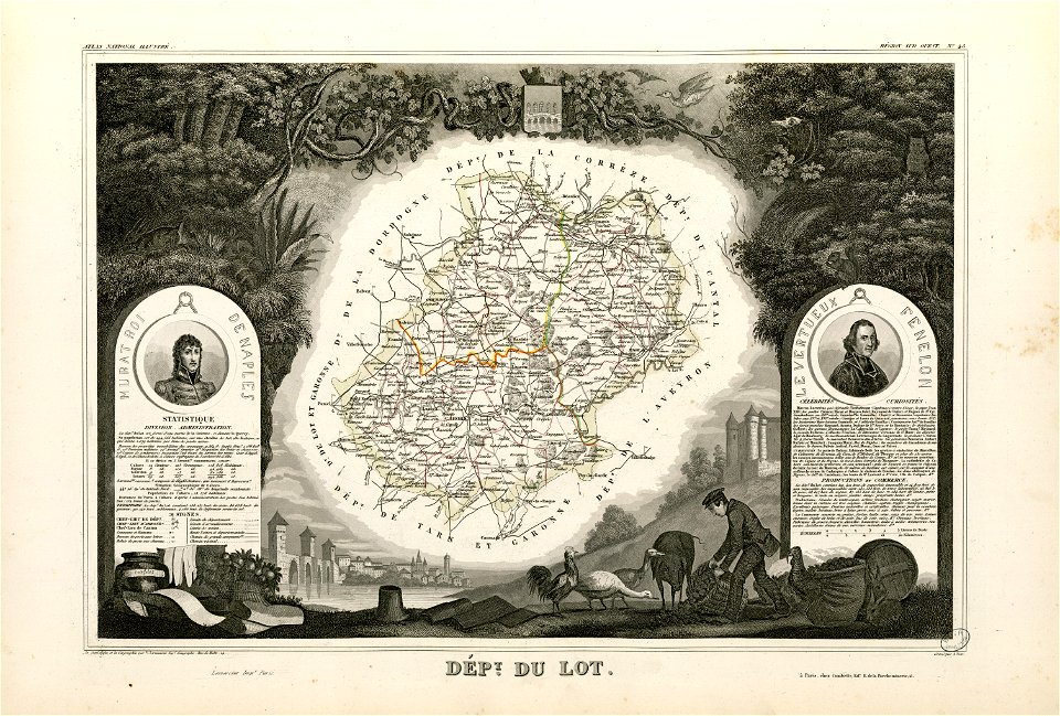
fonds ancely - bibliothèque municipale de toulouse - maps
victor levasseur - maps of france
fonds ancely - bibliothèque municipale de toulouse - maps
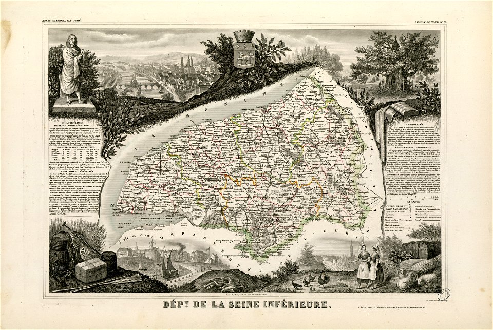
coats of arms of rouen
fonds ancely - bibliothèque municipale de toulouse - maps
saint vincent de paul
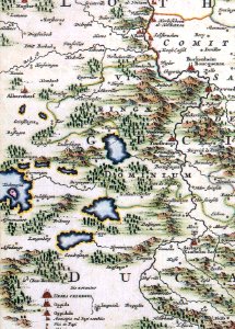
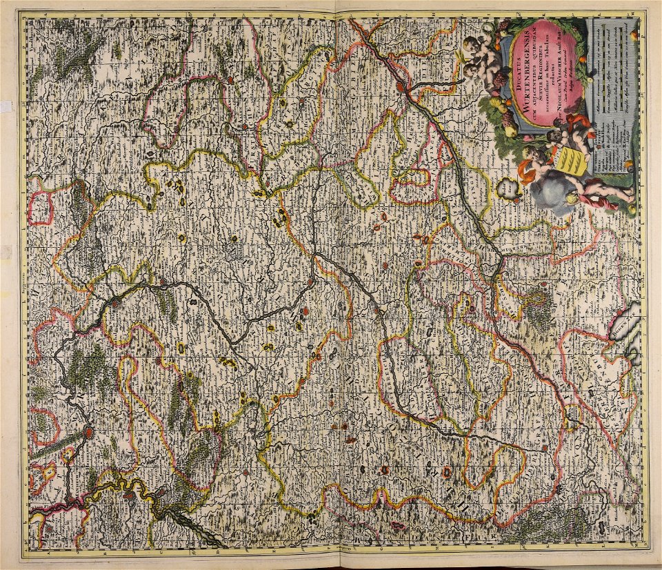
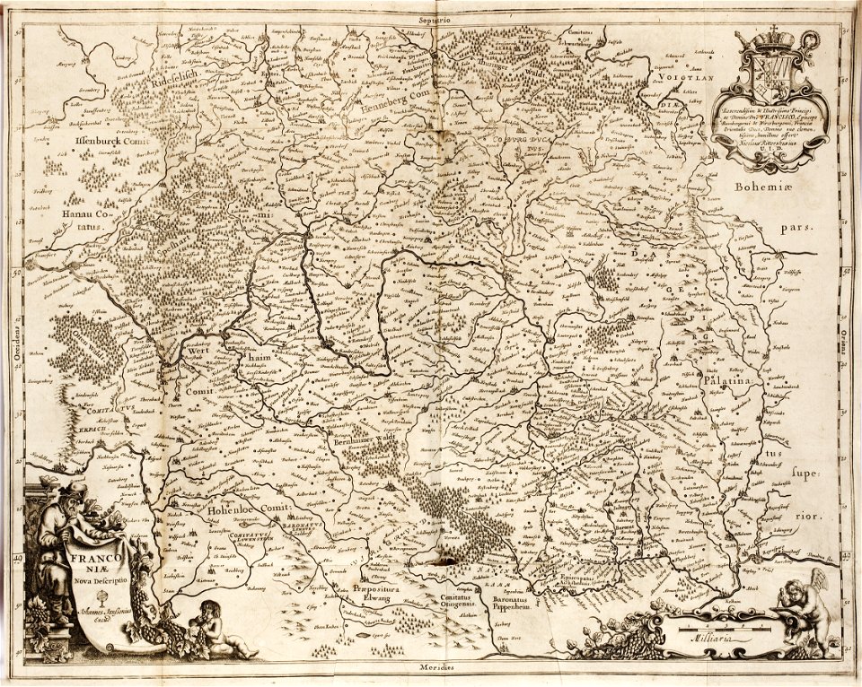
1642 maps of bavaria
franconia
maps made in the 17th century
gerard valck
maps made in the 17th century
gerard valck
maps made in the 17th century
gerard valck
maps made in the 17th century
gerard valck
maps made in the 17th century
gerard valck
maps made in the 17th century
gerard valck
maps made in the 17th century
gerard valck
maps in the library of congress
new york
maps in the library of congress
new york
maps made in the 17th century
gerard valck
maps made in the 18th century
maps by pieter schenk (i)
maps made in the 17th century
gerard valck
maps made in the 17th century
gerard valck
birds in art of france
lions in art
maps made in the 17th century
gerard valck
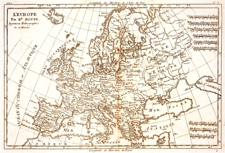
prints from bonne atlas de toutes les parties at the peace palace library
18th-century maps of europe
prints from bonne atlas de toutes les parties at the peace palace library
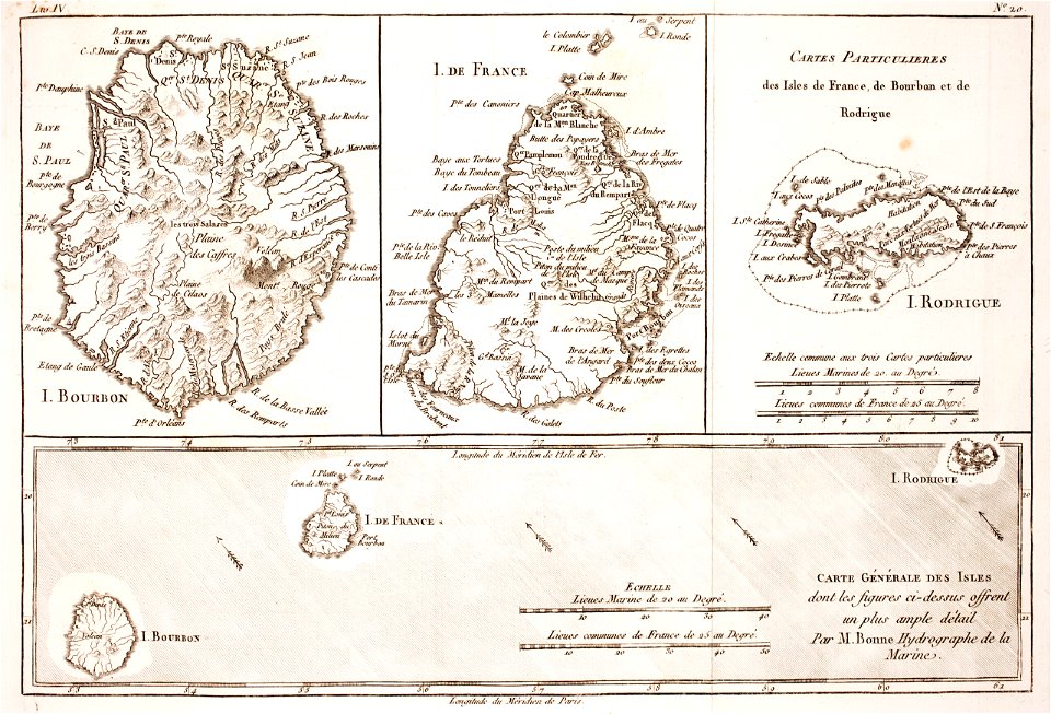
maps of rodrigues island
maps in the library of congress
new york
maps made in the 17th century
gulf of trieste
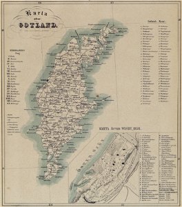
maps of gotland
pehr arvid säve
old maps of the british isles
maps made in the 18th century
maps made in the 17th century
gerard valck
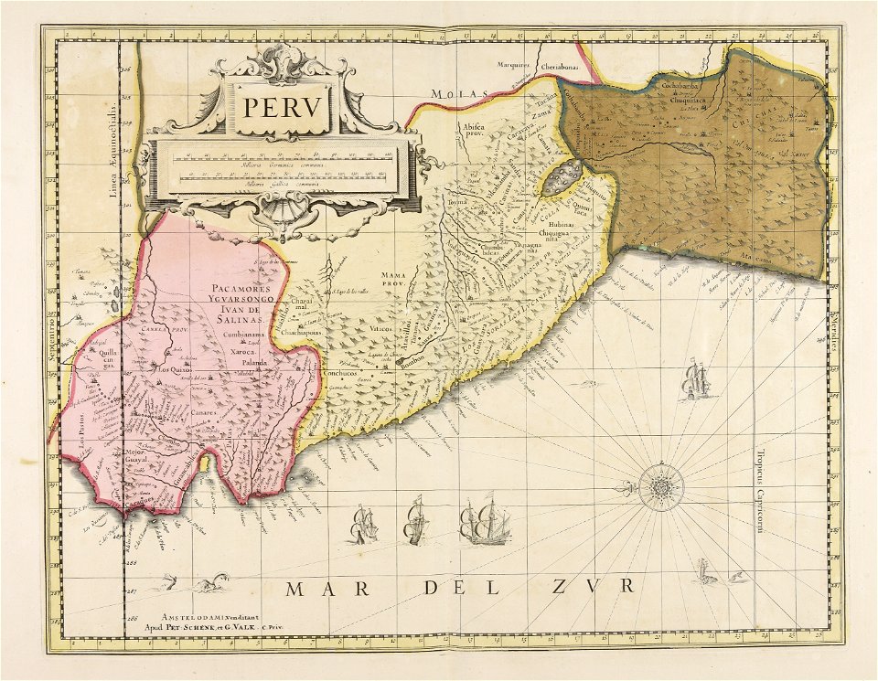
old maps of peru
gerard valck
old maps of silesia
gerard valck
old maps of styria
gerard valck
old maps of nuremberg
gerard valck
maps made in the 17th century
gerard valck
maps made in the 17th century
nicolaes visscher ii
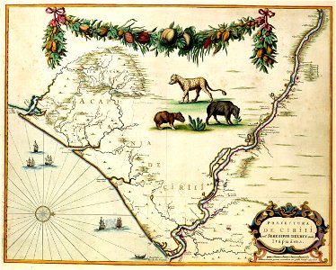
old maps of south africa
boer
coats of arms of galicia (spain)
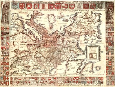
holy roman empire
l'illustration
1862
maps in the library of congress
sailing ships of spain
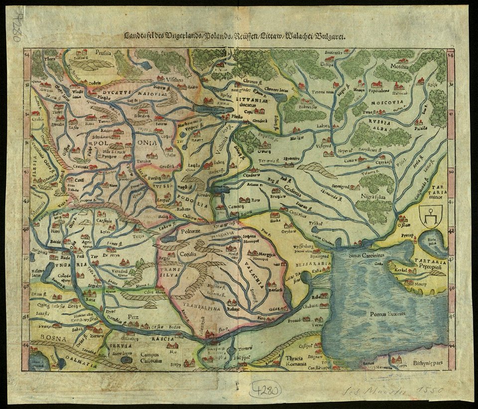
maps by sebastian münster
old maps of slovakia
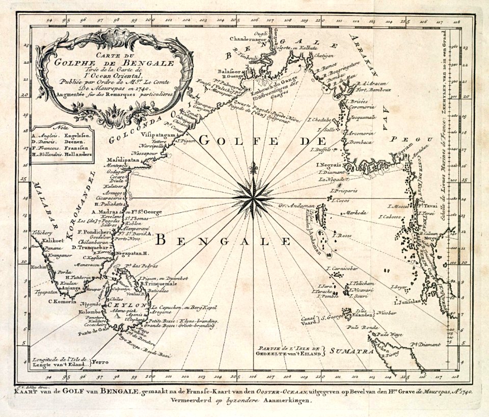
dutch bengal
1747)
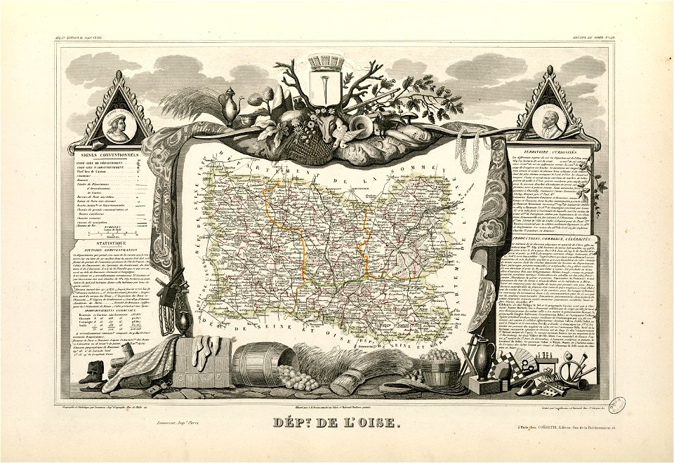
coats of arms of cities in oise
old maps of oise
maps by willem and johannes blaeu
wijnhaven, the hague
19th-century maps of the spanish empire
1810s maps of south america
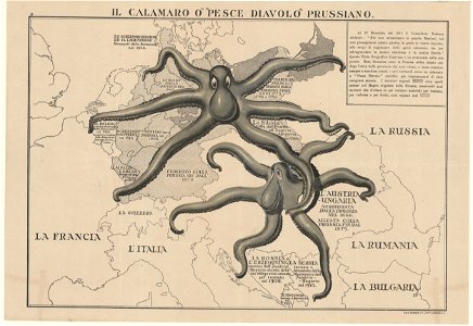
old maps of austria-hungary
austro-hungarian army
maps from the mechanical curator collection available to georeference
maps from the mechanical curator collection
johann christoph winkler
old maps of prague
maps in the library of congress
new york
maps by alexandre vuillemin
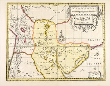
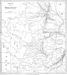
old maps of paraguay
ancient egypt
egypt
1590s maps of the world
frans hogenberg
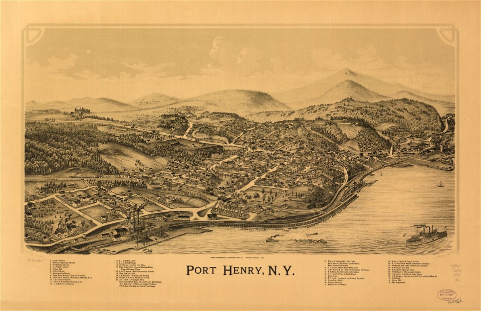
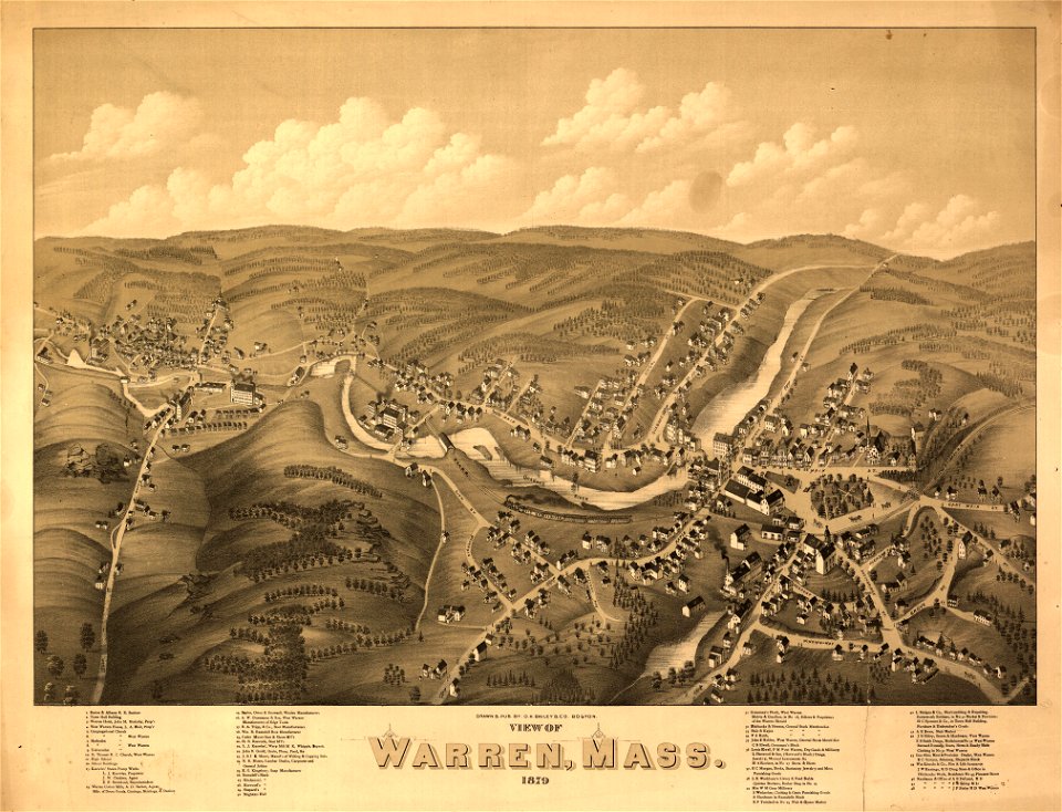
massachusetts
warren
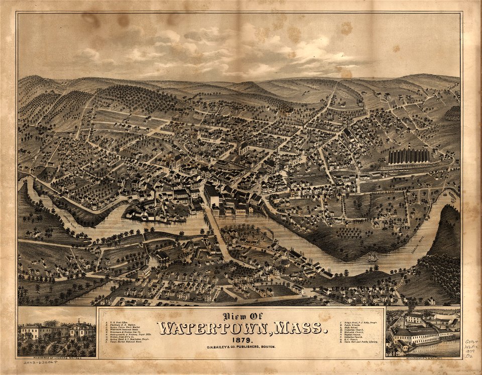
massachusetts
watertown
5401 - 5500 of 38,267
Next page
/ 383